16 min read  •  9 min listen

Maps, Stars & Magnetic Needles

How Simple Tools and Shared Know-How Turned Oceans Into Highways

Maps, Stars & Magnetic Needles

AI-Generated

April 29, 2025

Ever wondered how sailors crossed oceans before GPS? This tome reveals the clever tools, maps, and shared tricks that made the world smaller and the seas less scary. Get ready to see how a handful of gadgets and a lot of teamwork changed everything.


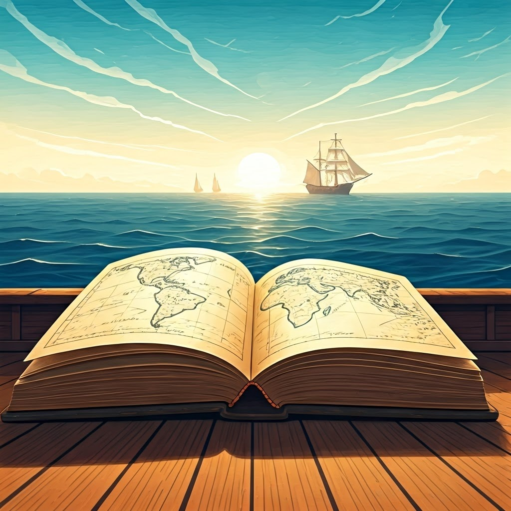
From Parchment to Projection: The Maps That Changed Everything

Medieval cartographer tracing a coastline and sea monsters on parchment under candlelight, capturing the mix of artistry and guesswork in early navigation

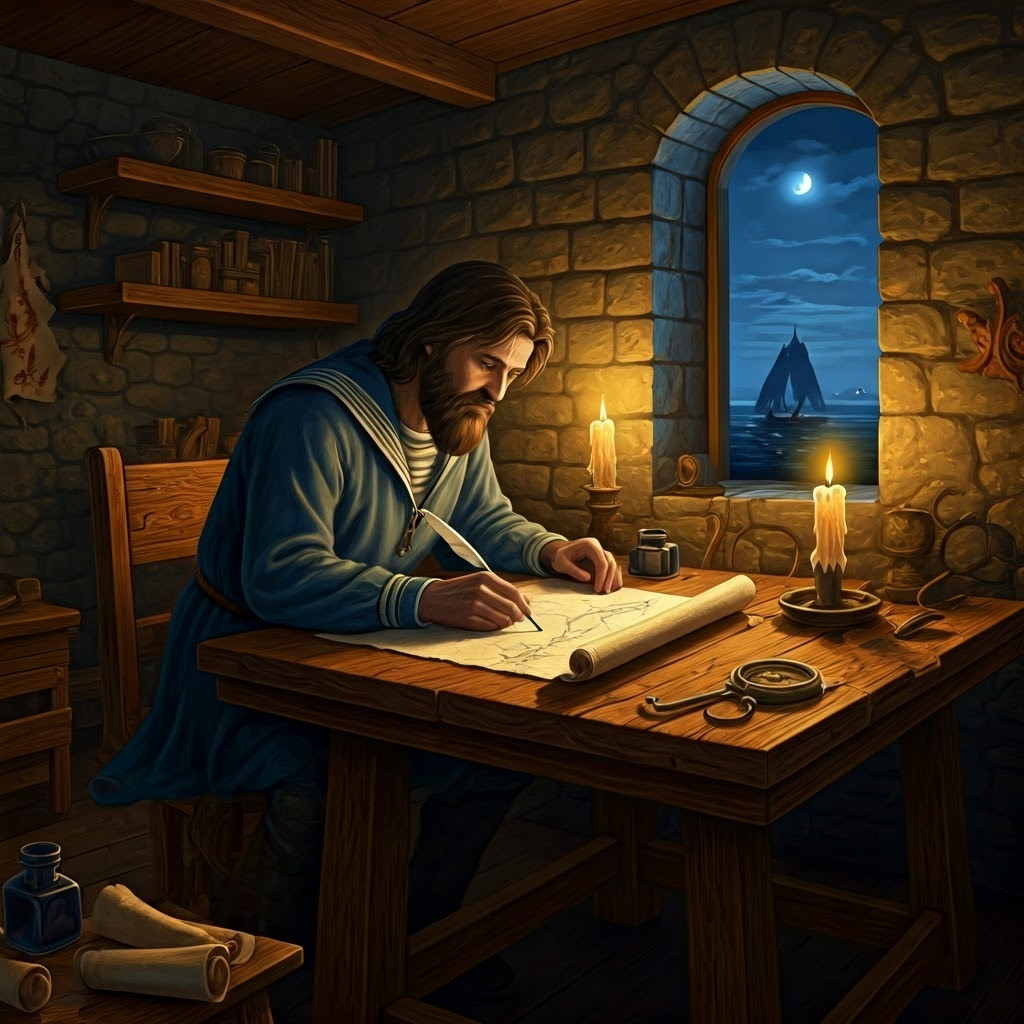
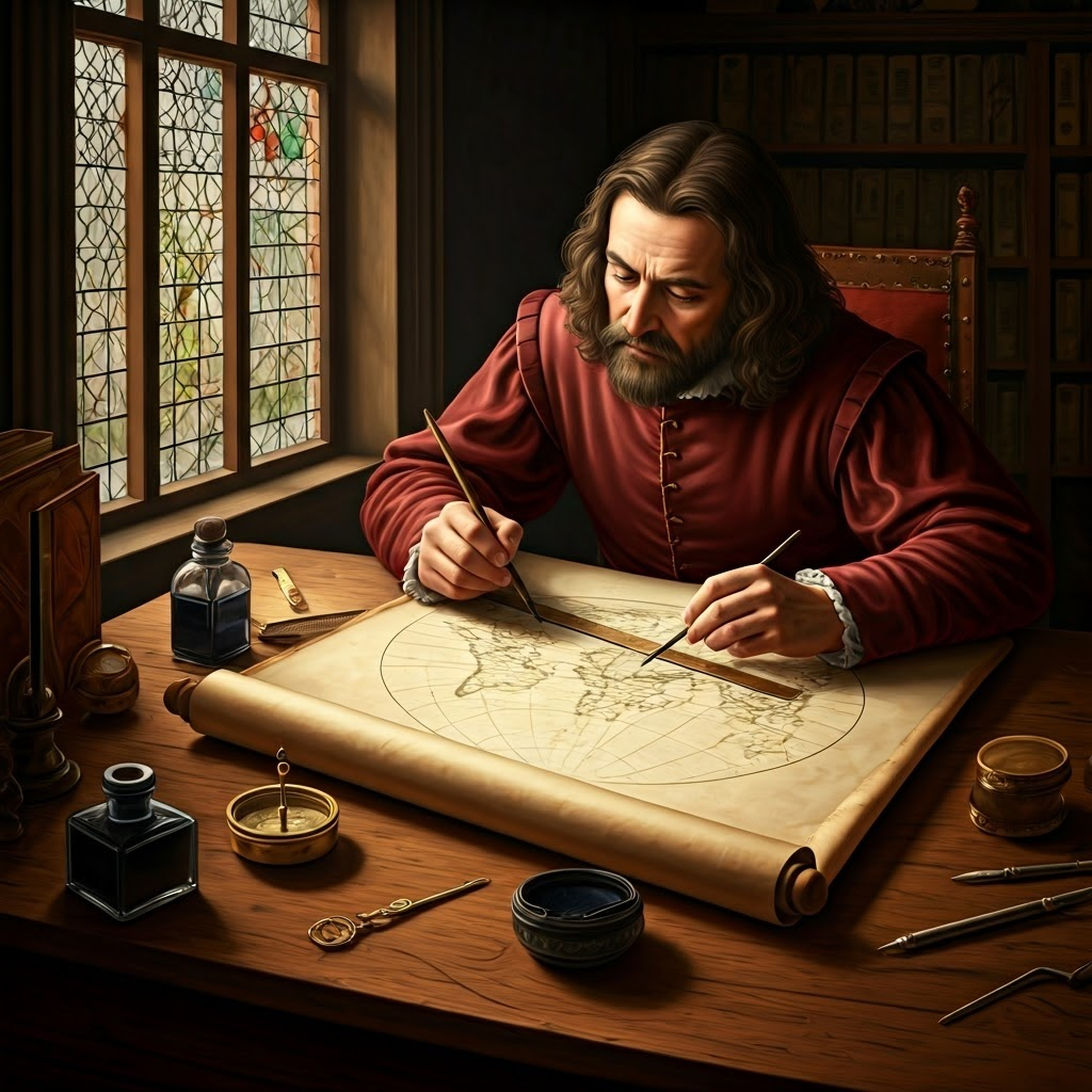
Early mapmakers worked by candlelight, turning bits of coastline and rumor into imaginative scrolls filled with sea monsters. Their beautiful sketches inspired awe, yet offered little help once a ship left sight of land. Guesswork often replaced reliable guidance.

Scribbles to Sea Charts: Early Mapping Tricks

Weathered portolan chart with compass roses and radiating rhumb lines showing detailed Mediterranean coasts

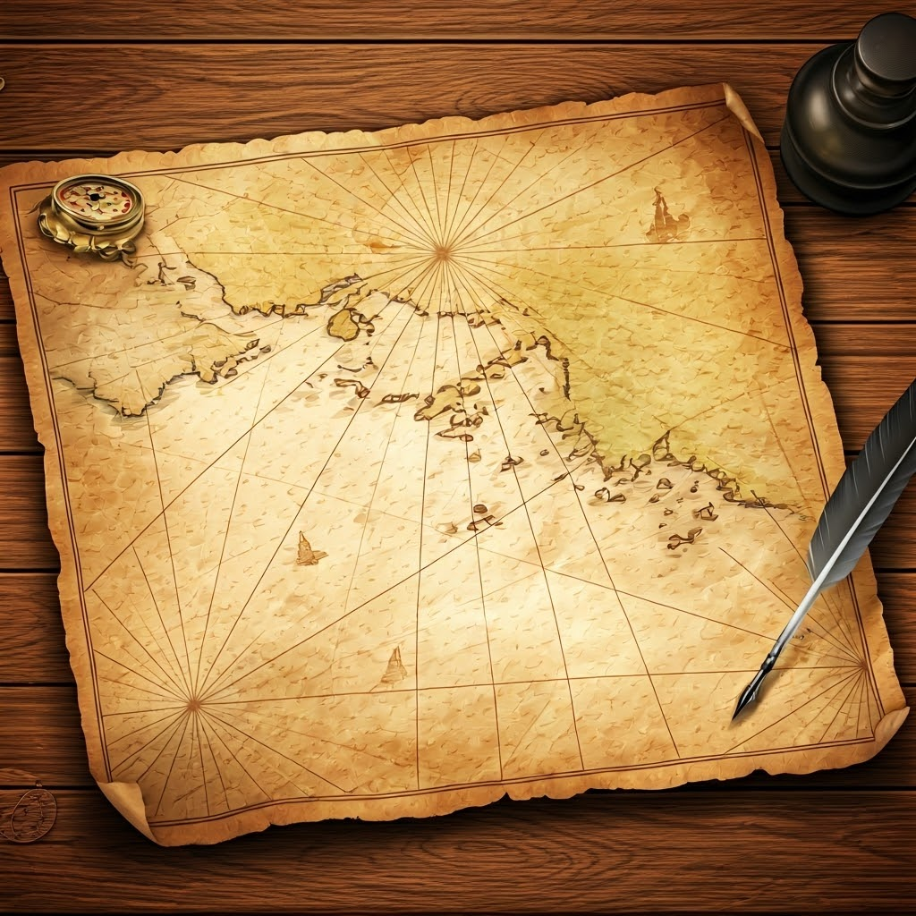
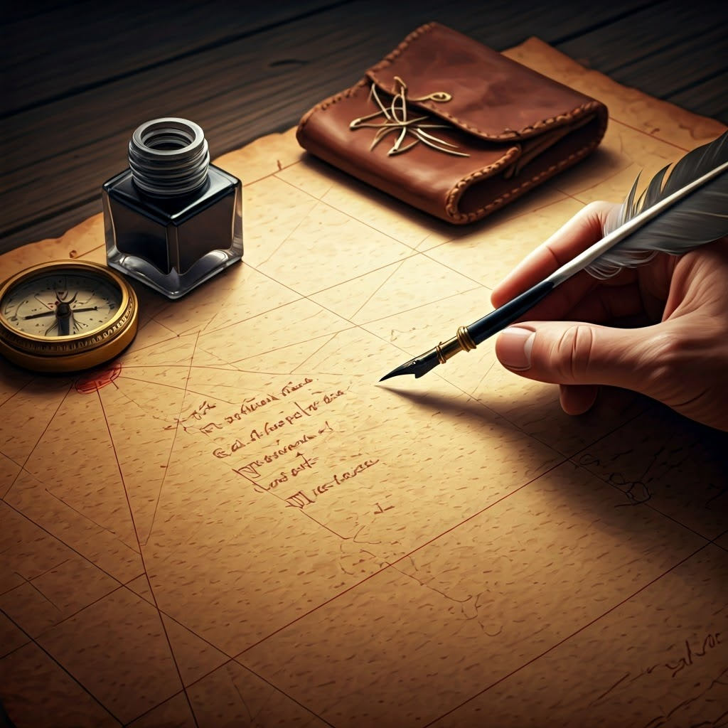
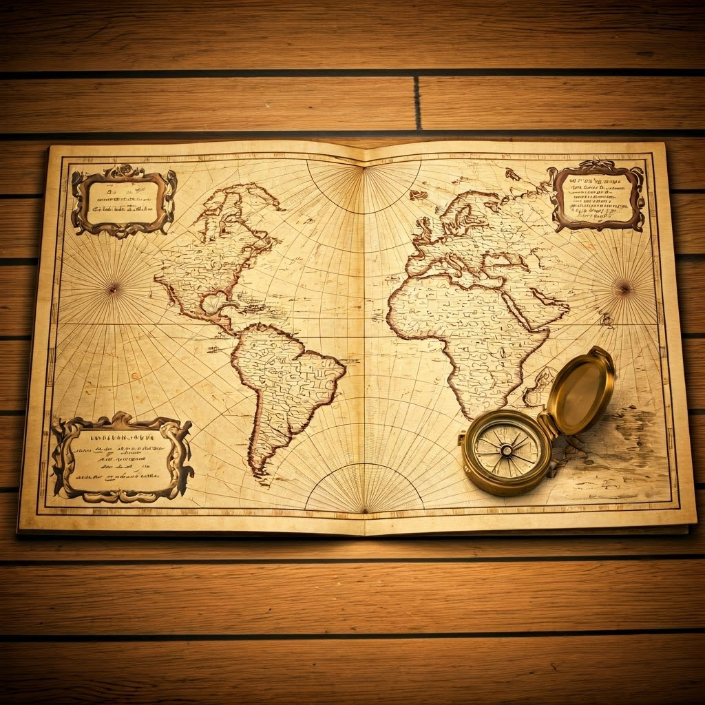
Sailors needed practical tools, not legends. Around the 1200s, Mediterranean mariners created portolan charts that showed real bays, ports, and capes. Straight rhumb lines fanned from ornate compass roses, helping crews follow a heading with new precision.

Close view of a mariner jotting notes on a faded portolan chart beside compass needles and inkpot

These charts grew from shared experience. Crews copied details, scribbled margin notes, and handed updates along busy trade routes. Collaboration—not royal decree—kept the information fresh and useful.

Navigator on a pitching deck measuring the sun’s angle with a wooden cross-staff at dawn

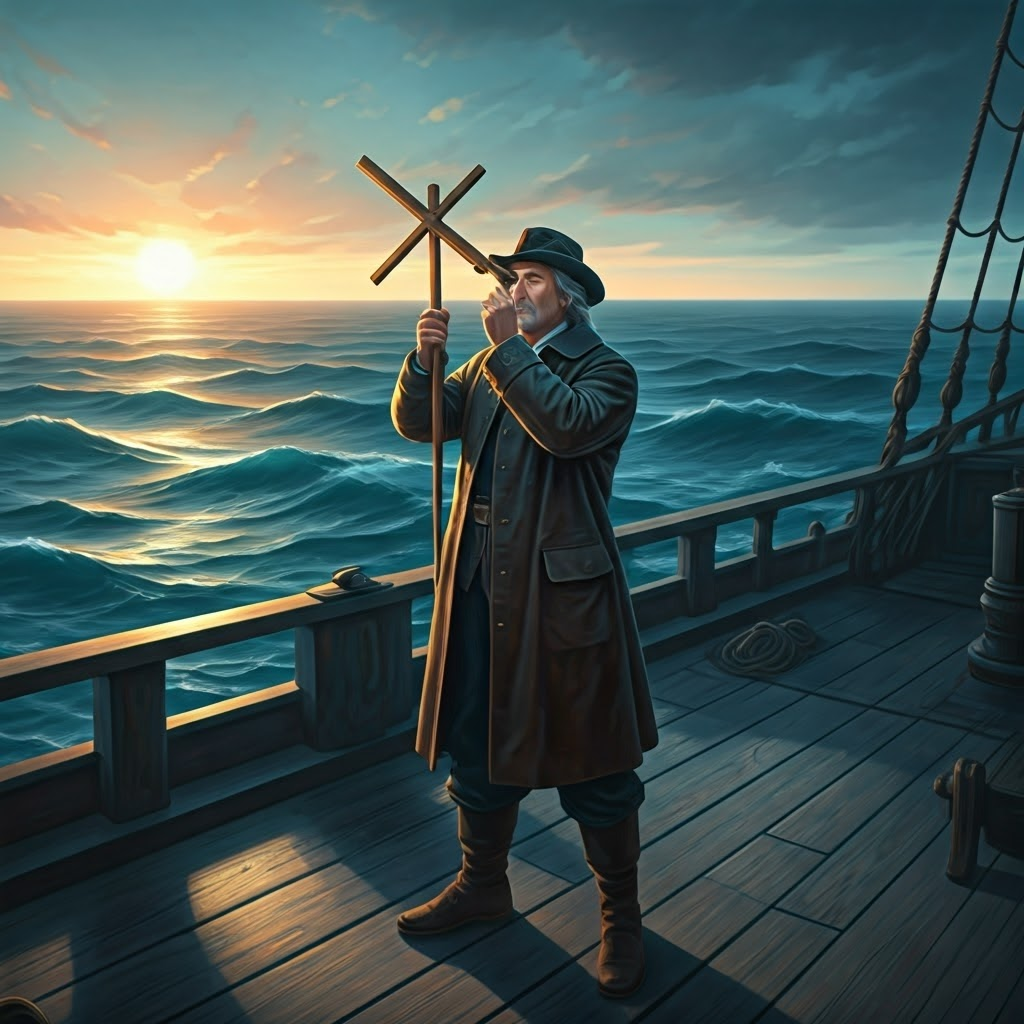
Latitude Sticks and the Magic of Lines

Finding latitude was tricky but possible. Sailors raised a cross-staff, lined it with the horizon and the sun, and read their north-south position. Even swinging decks and blinding glare were worth it; rough readings beat total uncertainty.

Scholar in a wood-paneled study drawing a distorted world map while marking rhumb lines across a flat globe

Mercator’s Big Idea: Straight Lines, New Worlds

By 1569 Gerardus Mercator offered a bold fix. His projection stretched the poles yet let sailors draw a straight line from Lisbon to the Caribbean and trust their compass all the way. Route accuracy outweighed shape distortion.

Antique Mercator projection on a ship’s deck with dividers tracing a Lisbon-to-Caribbean course

Captains quickly adopted the new layout. Standardized courses shortened voyages, predicted winds, and turned vast oceans into something closer to a navigable grid.

15th-century printing workshop using wooden presses to mass-produce woodcut maps

Printing Presses and the First Atlases

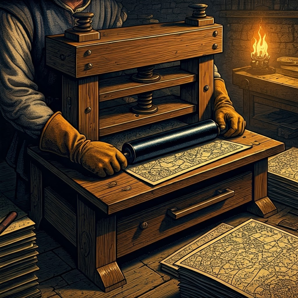
The printing press ended the era of single, guarded maps. Suddenly, identical charts reached rival ports, and errors got spotted and fixed. Knowledge spread as fast as printers could set fresh type.

Merchant captain in a harbor tavern studying a brightly colored, freshly printed atlas

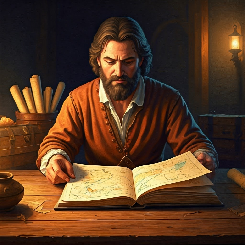
In 1570 Abraham Ortelius bound dozens of updated sheets into the first atlas. Merchants and explorers leafed through every known coast, planning ventures with shared, up-to-date insight.

Open atlas on a ship’s deck annotated with recent discoveries while distant sails cut the horizon

Each new voyage fed the presses again, shrinking the unknown and knitting oceans into well-traveled highways. The journey from parchment fantasies to printed projections made Earth feel smaller—an achievement born of curiosity, cooperation, and steady innovation.


Tome Genius

Age of Exploration & Global Exchange

Part 2

Tome Genius

Cookie Consent Preference Center

When you visit any of our websites, it may store or retrieve information on your browser, mostly in the form of cookies. This information might be about you, your preferences, or your device and is mostly used to make the site work as you expect it to. The information does not usually directly identify you, but it can give you a more personalized experience. Because we respect your right to privacy, you can choose not to allow some types of cookies. Click on the different category headings to find out more and manage your preferences. Please note, blocking some types of cookies may impact your experience of the site and the services we are able to offer. Privacy Policy.
Manage consent preferences
Strictly necessary cookies
Performance cookies
Functional cookies
Targeting cookies

By clicking “Accept all cookies”, you agree Tome Genius can store cookies on your device and disclose information in accordance with our Privacy Policy.

00:00