

Weather: The Daily Drama Above Your Head
What Is Weather, Really?
You wake up, look outside, and decide between grabbing an umbrella, a sweater, or just sunglasses. Weather is what you feel right now—sunshine, rain, wind, or fog over a short time and place.
Think of it as the day’s mood: quick to change, surprising, and always local. A friend in Los Angeles may text about blue skies while you shelter from a storm in Dallas—that contrast shows how weather varies at the same moment.
When a meteorologist says, “Today’s high will be 72°F with afternoon showers,” they describe the short-term state of the atmosphere. The air is restless, always moving and mixing under shifting sunlight, land, and oceans.
You might start the morning with frost and end it in a T-shirt because the sky refuses to stay in one mood for long.

The Ingredients: Temperature, Humidity, Wind, and Pressure
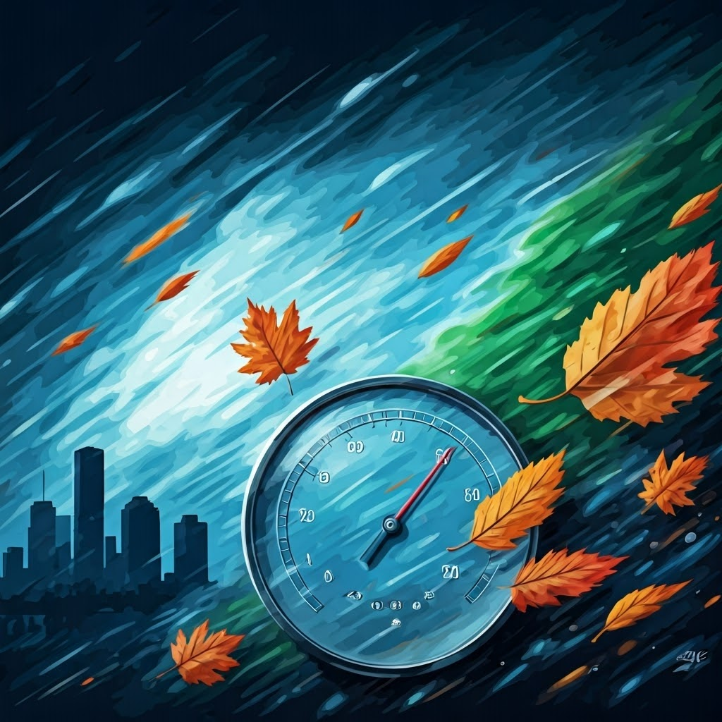
Temperature sets the stage—snow or sweat, or both in one odd week. Humidity acts like an airborne sponge; when it’s full, sweat can’t evaporate, so you feel hotter.
Wind and Pressure in Action
Wind mixes the air. A crisp breeze can steal warmth from your cheeks and push storms across cities. Pressure is subtler: high pressure tends to clear skies, while low pressure invites clouds and rain.
In Houston, a fast-moving cold front can drop temperature, lower humidity, and shift wind in under an hour—that’s live weather.

Layers of the Sky: Where Weather Happens
Most weather drama unfolds in the troposphere, the layer stretching up about 7 miles (12 km). Jets skim its top, and thunderstorms rise nearly as high.
Above sits the quieter stratosphere with the ozone layer. When a plane hits turbulence or mountain snow turns to rain as you descend, you’re feeling different zones inside that bottom blanket of air.

Forecasting: How Meteorologists Try to Predict the Unpredictable
Meteorologists track the sky with satellites, balloons, ground sensors, and heaps of data. They feed it into computer models that map where a front or storm might wander.
Tiny shifts can snowball—a breeze over the Rockies may spark a thunderstorm in Kansas two days later. That chaos limits forecasts beyond five or six days.
Accuracy has climbed: today’s three-day outlook equals a one-day forecast from the 1980s. Yet no tool can promise clear skies for a wedding six months out.
Reading Weather Maps Without Losing Your Mind
A weather map may look like scribbles, yet its symbols are simple. Blue lines with triangles mark cold fronts—expect cooler air and possible storms. Red lines with half-circles show warm fronts—milder air on the way.
A big H means high pressure and calmer skies; an L signals low pressure and likely clouds. Wind arrows reveal airflow. Checking whether you sit under green (rain) or yellow (clear) tells you enough for picnic plans.
Weather is the planet’s most unpredictable show. Each day, temperature, humidity, wind, and pressure write a fresh episode in the troposphere. Watch the sky, read the map, and enjoy the spectacle.